
The shape of water
How a national framework supports river science and management
First in the world to classify the physical attributes of streams and rivers at the national scale, the River Environment Classification system is still in use more than two decades after its inception.
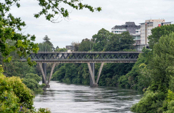
The River Environment Classification system organises New Zealand’s rivers by mapping significant environmental factors including climate, topography, geology, and land use onto individual river segments that comprise a national digital network.
This comprehensive framework offers a clear and consistent way to help understand how river environments shape water quality, flow, and ecosystems by revealing local and catchment characteristics across 425,000 km of New Zealand’s waterways.
For researchers, it became a powerful tool to represent patterns in river health, water quality, and the presence of aquatic life in areas without direct monitoring. For regional councils and policymakers, the River Environment Classification system and national digital network have underpinned state of environment reporting, guided water quality targets, and informed sustainable river management practices. The system’s broad use has helped improve policies and supported more effective river management.
Ongoing updates ensure the system remains relevant for future research and waterway management, continuing to inform decision-making on the way New Zealand manages its rivers.
River Environment Classification
A complete database of catchment attributes for every river segment nationwide.
Find out more
Celebrating 100 years of science
Learn more about how science is making a real difference for New Zealand.
Go to Science New Zealand website